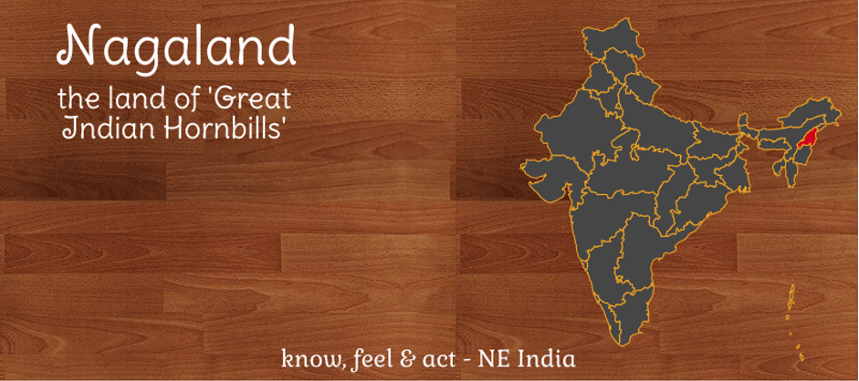
Location
located in the north-eastern region of India & shares boarder with Indian states such as Arunachal Pradesh, Assam and Manipur. It also shares boarder with Myanmar.
Demographics
as per 2011 census, the population of Nagaland is 19,78,502. As observed between 2001 & 2011, this is the only state which observed drop in population. Major urban agglomerations in the state are Dimapur and Kohima
Topography
It is primarily a mountainous state. The highest peak in the state is Mount Saramati which has an elevation of 3.841 metres. Major rivers in the state are Doyang, Diphu and Barak river.
Climate
Primarily, has a monsoon climate and experiences high humidity. In Nagaland, summer season is the shortest and winter arrives early.
Agriculture
Around 70% are dependent in agriculture and major crops are rice, millet, maize and pulses. Cash crops in this region are sugarcane and potato.
Infrastructure
Due to mountainous topography, infrastructural development in this state has always been a challenge. Transportation Infrastructure is dependent on the road network.