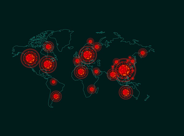
COVID-19 pushed the world to a standstill. More than 3 million people have been affected by this deadly virus.Thousands of lives were lost. Most of the countries irrespective of their status of healthcare infrastructures have been affected.
There are various aspects of this pandemic which may be discussed and debated. Pandemic, quarantine, containment zones and lockdown are now the most used words. But there is something more to these words besides their association with COVID-19. These terms have significant relationship with spatial characteristics and complexities of a region. The moment space comes into the picture while discussing any disease initiate a discussion on cartography of diseases. When we aim to decipher the complexities of a disease in the context of spatial characteristics and complexities, we need a platform where the science of disease and the science of space meet each other. This association may be seen as a Health-GIS platform.
Assessment of various aspects of a disease which spans from the trend analysis of a disease to the spread assessment of disease may be answered using a robust Health-GIS framework. For instance, based on the trend of disease, the duration of a lockdown may be decided. In addition, spreading pattern of the disease helps policy maker to identify different disease hotspots of a region. Subsequently, containment zones are being identified. Integrating spatial and aspatial attributes of a hotspot enable policy makers and spatial researchers to track the pattern of a disease. In addition, this is also necessary to understand that handling health emergency is not just about identifying the disease pattern and tracking it. This is also about providing the adequate health services to priority clusters. The framework of Health-GIS framework may be significant in identifying the priority clusters as this bridge the gap between disease science and spatial science. For instance, an identified hotspot where the majority is underprivileged is more vulnerable in the context of mortality rate than a hotspot where majority are in good economic conditions. Here, the socioeconomic factors would be instrumental in identifying the priority zones for providing the services. So, this needs to be understood in entirety that a practical and long-term solution for any kind of epidemiological challenge, the geographic factors need to be considered besides the disease factors. Hence, a robust Health-GIS decision support system may become an effective answer to such challenges.